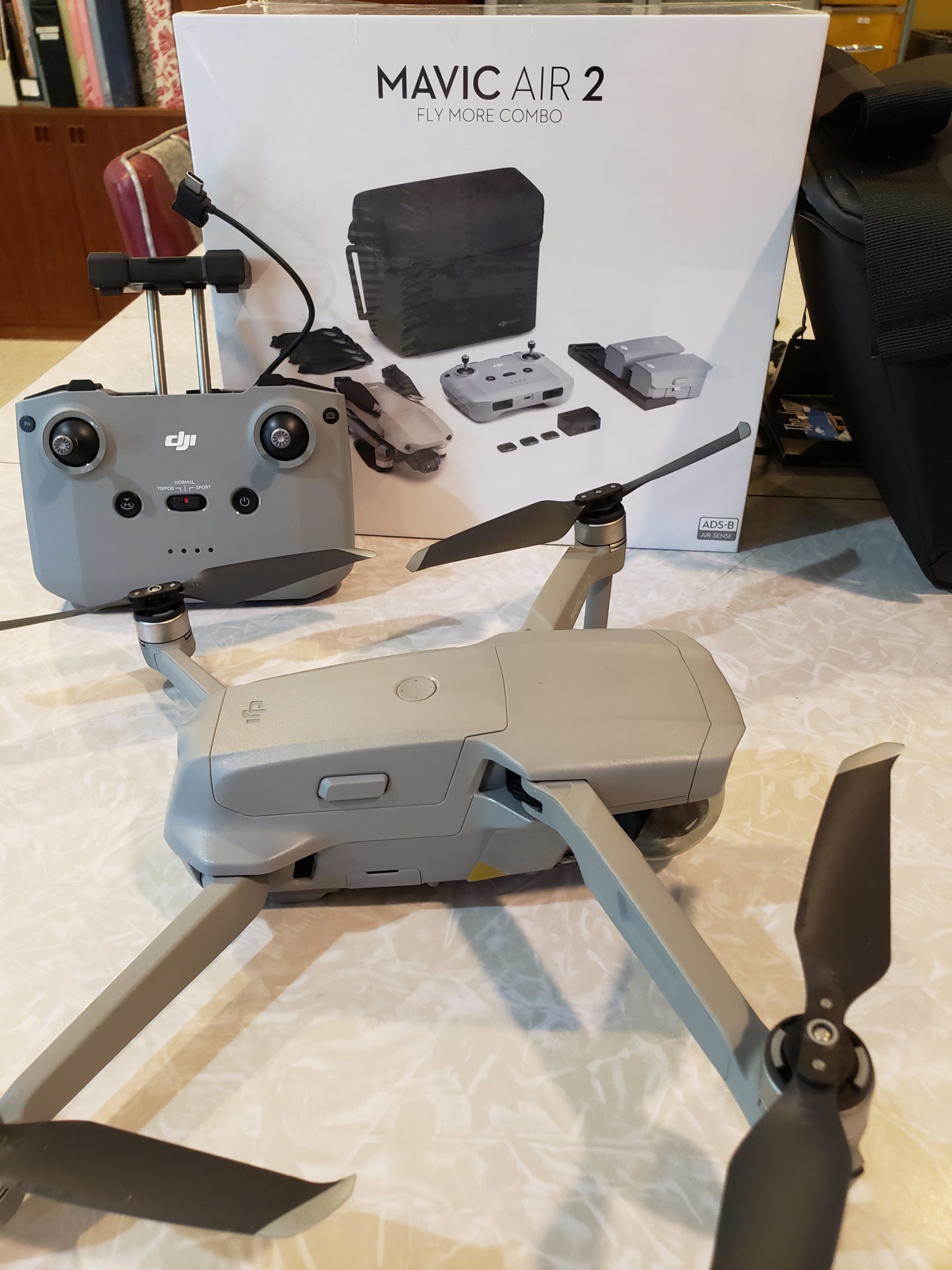
Mavic Air 2
The Mavic Air 2 drone is a small aircraft weighing only 1.25 lbs (570 g). The drone plus the controller and accessories fit into a small carrying case, which is included. There are three batteries, each lasts for about 34 minutes. The resolution is 4K Ultra HD and the motion flow is superb.
The drone is made by DJI, from Shenzhen, China. DJI is the leader in consumer drones, its products account for over 70% of global market share. You do need to follow Federal Aviation Association guidelines and register the drone with the FAA.
How are drones useful?
- Drones can use Lidar to measure the height of crops. Lidar is a remote sensing technology that measures distance by illuminating an object with a laser (near-infrared or UV) and then measuring what is reflected back.
- Heat sensors detect the temperature of livestock, the presence of water, water temperature, and for surveillance and emergency response (if someone is injured in a remote field away from heavy equipment).
- Biological sensors can be used to take air quality readings and check for the presence of specific micro-organisms or organic compounds.
- Fire departments can use drones to track and map wild fires.
- Private companies can use drones to monitor their infrastructure such as pipelines, buildings, etc.
- Using drones to inspect power lines, towers, tall structures like chimneys and roofs would save businesses vast amounts of money and would reduce liability.
- Drones are used to gather footage in sporting events because of their ability to maneuver into locations that cable-suspended cameras cannot reach.
- Drones can use infrared sensors to detect humans by their heat signature which is helpful in search and rescue scenarios.
- Personal and hobby use of drones is perfectly legal in the United States. Recreational flying can be done anywhere but is best if done in open locations so that you can always see your aircraft.
- Drones have made it possible to survey land and gather information at job sites. Realtors, developers, and builders have also begun using drones to gather video and imagery for home and building inspections and marketing materials to assist the selling process.
My first drone test:
By using the drone with your smartphone, you can get accurate photos of your property, including lot lines and topography. Think of lakefront properties, vacant lots, subdivisions, farmland, etc. It’s just another tool to make your listing more attractive and informative to prospective buyers.
I’d love to work with you in getting your property sold. Contact Premiere Stagers & Realty at 608-345-9396.
